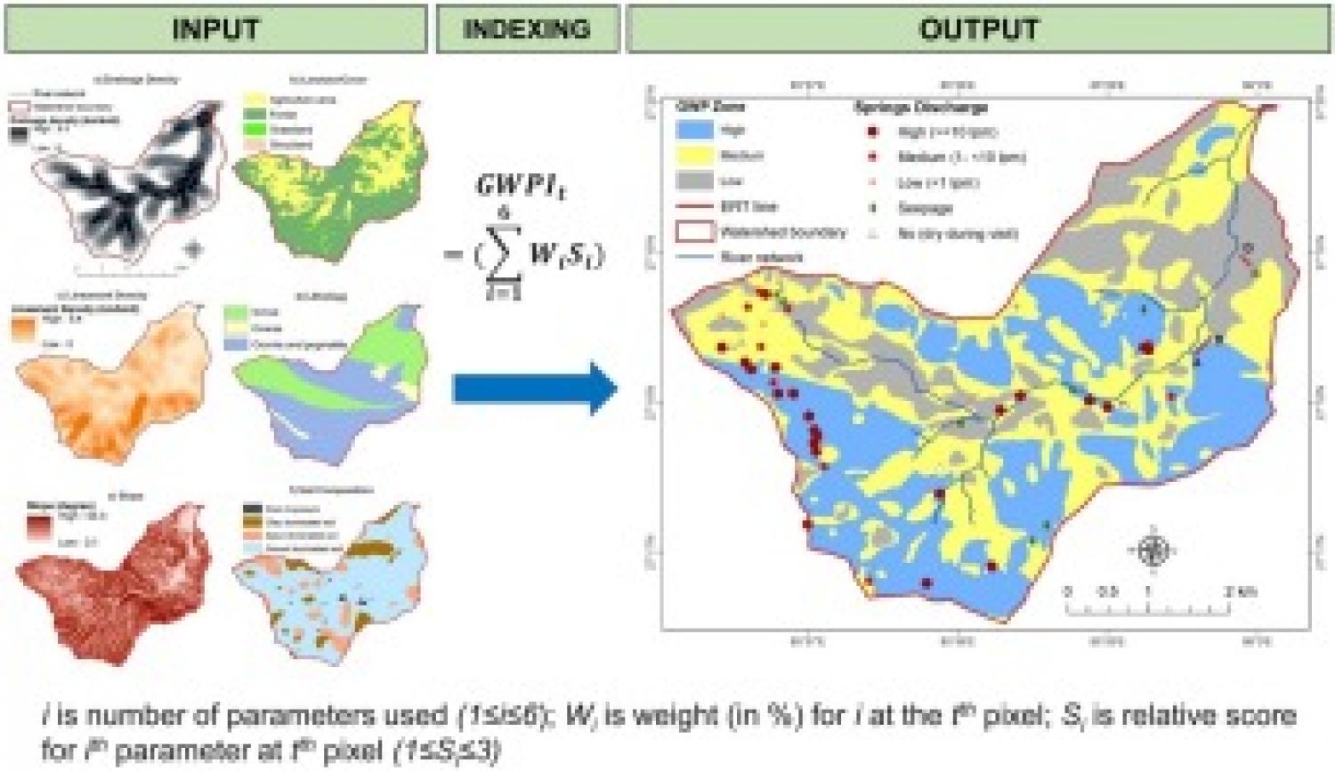
Study Region: Eastern Nepal, The Himalayas. Study focus: This research is aimed at delineating groundwater potential zones in a hard-rock aquifer Himalayan watershed integrating geo-spatial and field exploration techniques. A customized indicator-based weighting method, consisting of six indicators, was developed and applied in the study watershed. Spatially-distributed maps for the indicators were produced based on information from primary as well as secondary sources. The indicators were further aggregated and groundwater potential map was prepared using relative weights derived from Analytical Hierarchy Process with inputs from key hydrogeology experts. The map was then validated using observed data of springs as well as results from Electrical Resistivity Tomography (ERT). New hydrological insights: The novelty of this study lies in the application of two-step validation (using springs data from the field and ERT) of the groundwater potential mapping approach which demonstrates the robustness of the overall methodology for data scarce regions and paves way for its wider applicability in decision support for groundwater exploration activities. Further, this is one of the very few groundwater potential studies in the Nepal Himalaya hydrogeological setting.
